
Downpours and thunderstorms are not unusual for UK weather in spring, and the risk of any particular place seeing a tornado on Wednesday is extremely low. No tornadoes have been reported so far.
A Met Office spokesperson said: “Funnel clouds and small scale tornadoes are possible in the UK in the sort of weather set up we have at the moment, with an unstable atmosphere and warm surface temperatures from the prolonged dry spell and strong sunshine.
“Any tornado would only be small scale and there is no warning.
“The risk is now diminishing as temperatures cool into the evening.”
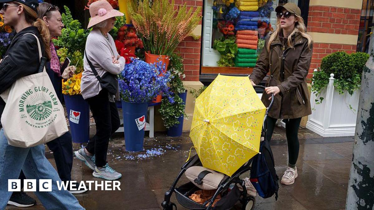
Areas around Brighton and Hove have seen the worst rain so far, with around 0.3in (8mm) of rainfall recorded in Plumpton, East Sussex.
The showers and thunderstorms should quickly die out during the evening.
Northern parts of the UK have been largely sunny, with the wet weather affecting the south.
Thursday is set to be a drier day with few showers across parts of the South West, and Friday is expected to mostly fine.
On Saturday it will be a cloudy start for most. The best of any sunshine is likely to be in the south-east of England. There will be some patchy rain at times in the west, with the heaviest bursts and strongest winds across north-west Scotland. Temperatures will range between 17–20C.
Sunday is likely to be the better day of the weekend. A mixture of sunshine and showers, mostly in the north and west, with gusts exceeding 45mph. It will feel cooler in the showers, with highs of 14-17C, but further south and east it will be a little warmer, potentially reaching 22C.
Then for bank holiday Monday, with low pressure still anchored to the north of the UK, the showery theme continues. Expect a blustery day of sunshine and showers, and some of these could be heavy and thundery.


Leave a Reply