The weather for much of the month so far has been dominated by an area of high pressure stuck over central and northern Europe.
This prevented rain-bearing Atlantic weather systems from reaching us and was also responsible for the continuous influx of cold air from the east, which kept daytime temperatures below normal for this time of year.
However, recently we have seen another surge of frigid arctic air across Canada and the US which has helped fire up a strong jet stream across the Atlantic.
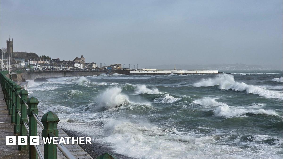
This has helped to the development and movement of deep areas of low pressure near our shores, bringing wind and rain.
While the jet stream will weaken next week, we will still see our weather come in from the Atlantic, rather than from Europe.
This will lead to fairly changeable conditions and temperatures closer to the seasonal average of 7 to 10 Celsius (45 to 50F). On the clearer nights we will also see the return of a frost in places.


Leave a Reply